When it comes to finding rocks, minerals, and especially thundereggs, few tools are more powerful (or underutilized) than Mindat.org. Built and maintained by the mineral community, Mindat is the world’s largest open mineral database—and it’s surprisingly useful for rockhounds, even if you’re not a crystallography nerd or museum curator. Whether you’re hunting agate in central Oregon or chasing copper minerals in Arizona, Mindat can help you discover spots, identify finds, and plan trips smarter.
In this post, I’ll walk you through how to use Mindat as a rockhound, with tips on reading the maps, finding thunderegg beds, and avoiding some common pitfalls.
What Is Mindat.org?
Mindat is a massive, crowd-sourced database of mineral localities, specimens, photos, and data. It’s free, open to the public, and searchable by location, mineral name, or both. Originally designed for scientific and museum-level mineral classification, it’s evolved into a powerful tool for field collectors.
The real goldmine for rockhounds isn’t the mineral data—it’s the location info. Thousands of mines, quarries, roadcuts, and field collecting sites are logged into Mindat, many with GPS coordinates, access notes, mineral lists, and user-submitted photos of material pulled from those locations.
Using Mindat to Find Rockhounding Sites
Here’s the basic process I use when planning a trip:
- Go to mindat.org
- Click “Localities” in the top menu
- Type in a region (e.g., Crook County, Oregon) or a feature (e.g., Ochoco Mountains)
- Browse the list of sites, mines, and known mineral occurrences
- Click individual listings to view minerals reported there, photos, maps, and sometimes even field notes or digging tips
Once you’re in a location’s profile, scroll down to the “Nearby Localities” section—it’s an excellent way to find clusters of collecting sites you might otherwise miss.
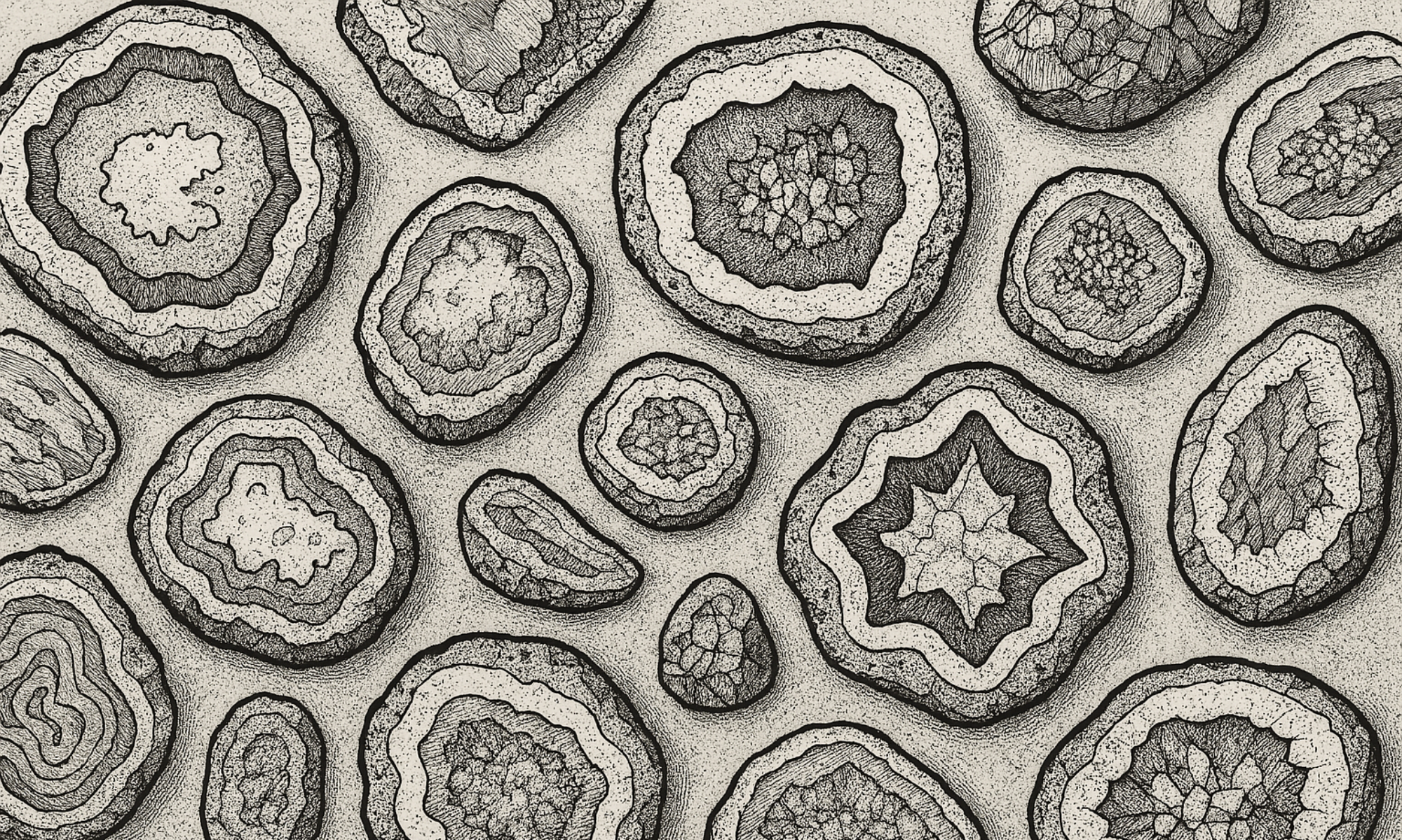
Searching for Specific Rocks (e.g., Agate, Jasper, Thundereggs)
Mindat organizes minerals scientifically, which means it might not always use common rockhound lingo. For example:
- Agate and jasper are varieties of chalcedony
- Thundereggs are often logged under chalcedony, quartz, or simply “nodule”
- Limb casts, opalized wood, and common opal may show up under opal, not “wood” or “fossil”
So if you’re hunting thundereggs, don’t just search for “thunderegg”—search by county, then check for entries listing chalcedony, agate, or quartz nodules in the mineral list.
How to Use the Maps
Many listings include latitude and longitude coordinates, either as part of the description or in a built-in map. You can:
- Copy the coordinates into Google Maps or Gaia GPS
- Cross-check with USGS topo maps or satellite imagery
- Use the “Show map” button on Mindat to see surrounding localities and terrain features
Just note that not all Mindat coordinates are accurate down to the meter. Some are spot-on, others are vague or estimated. Use common sense and cross-reference with other resources when possible.
What Mindat Doesn’t Tell You
Mindat tells you where something was found, but not necessarily whether:
- It’s on public or private land
- It’s legal or ethical to collect there
- The site is still productive or accessible
- The mineral is still present in any quantity
That’s your job to figure out. Always check land status (BLM, National Forest, private) and don’t assume a marked site is fair game. Use BLM maps, county GIS systems, or onX Hunt to verify land ownership before heading out.
Bonus: Use Mindat for Identification
Back home, you can use Mindat’s specimen photo database to help ID your finds. Search by mineral type, or browse photos from the specific location where you were digging. Seeing what others pulled from the same ground can be incredibly helpful—especially if your agate looks like it might be opal, or your “quartz” has some weird inclusions you’ve never seen before.
Final Tips
- Register for a free account to track your finds, submit updates, or bookmark locations.
- Use the “Mineral Atlas” view for a visual overview of where different minerals are found in your state or region.
- Combine Mindat with other tools like Rockhounding Oregon, The Rockhound’s GPS, and local club forums for best results.
- And most importantly: use it as a starting point, not a shortcut. The real rockhounding is still done on foot, shovel in hand.
Mindat + Dirt = Success
If you’re serious about rockhounding—or even just curious where to start—Mindat.org is an essential resource. It’s not perfect, and it doesn’t replace boots on the ground, but it’s one of the best ways to connect digital research with real-world collecting. I’ve found some of my favorite thundereggs and agates by tracing a vague Mindat listing to a hillside that most people passed by.
Try it out. Dig deep. And let me know what you find.